Hamilton - Chicago - Minneapolis
Preparation
We pictured the road as a single number without much detail: about 1500 kilometers from Hamilton to Minneapolis, with a stop of 2 nights in Chicago. We didn't use any specialized travel services - the whole plan came out of an ordinary conversation with claude.ai, asking one broad question: describe the route, with details and what to watch out for. The plan turned out smooth and complete - the gaps in it only showed up on the road, exactly where practice diverged from theory.
Of what the AI advised, 3 things turned out useful:
- offline maps work - the advice was cautious, reality turned out simpler (details below);
- gas is cheaper in Indiana than in the neighboring states - worth holding off the tank until then;
- parking at the hotel in Chicago - AI had already picked the nearest parking ramp with automatic license-plate entry back home, so there was no need to hunt for a spot on arrival.
The main question in preparation wasn't about sights, but about connectivity. Our mobile plan doesn't include US data roaming, and without a map behind the wheel in a foreign country you don't get far. There were 2 options: download offline maps ahead of time or buy an American SIM card with a week-long tourist package. AI's advice was cautious - build the route at home while there's Wi-Fi, because offline navigation might fail on the road. We decided not to argue and hedge our bets: offline maps as the main plan, a SIM card as backup, in case the first didn't work.
In practice the caution turned out unnecessary. Google Maps, with no internet at all, laid out the driving route reliably and without a single glitch - the phone just held onto an already-loaded chunk of the map and guided us along it, as if the network had never been needed. The one limitation showed up on walking routes: without a connection the phone flatly refused to build a path for a pedestrian, only for a car. For a drive through the states that turned out not to matter - we barely got out of the car along the way anyway.
We brought along: 150 US dollars, 60 Canadian, Rogers and CIBC credit cards, a CIBC debit card. And - filled the tank the night before.
Gordie Howe International Bridge
From Hamilton to the new Gordie Howe International Bridge is 3.5 hours of driving, almost all of it fitting into the flat, even landscape of southern Ontario, where identical fields stretch on both sides of the highway, and only gas stations and the odd small town mark the time. About halfway across the bridge there's a toll point: 8 Canadian dollars, charged without a hitch to a Canadian bank card.
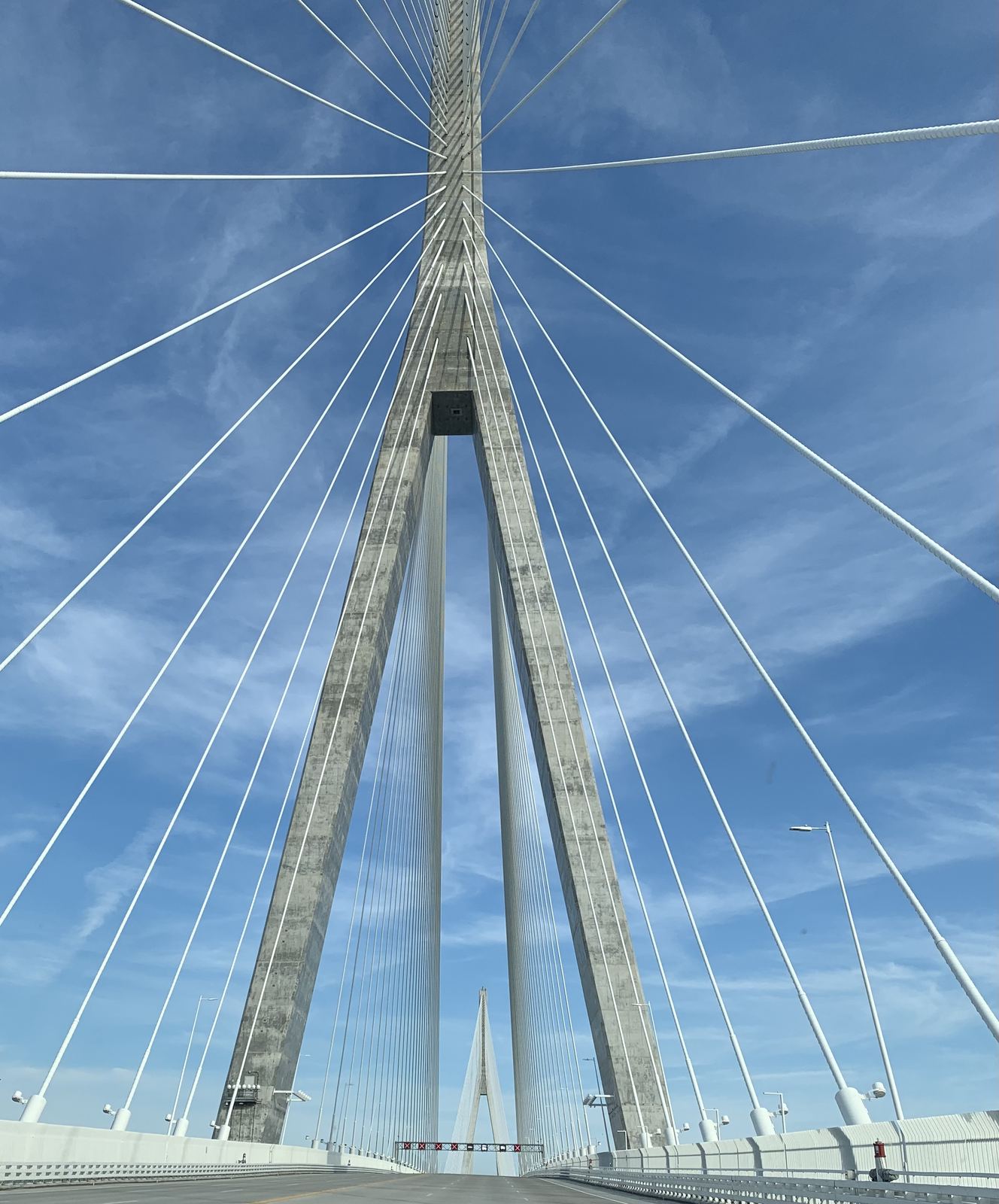
And then the border. The exit off the bridge ends right at it.
The first conversation was with the officer at the entry point, still in the car. Standard questions: where are you going, where do you live, how long have you been on the road, how much cash do you have. 150 US dollars we named right away, but how much Canadian we couldn't recall offhand - we pulled out the wallet and counted it up with a smile right there in front of the officer: 60 dollars.
After that came the vehicle inspection. We left the car wide open in the lot: trunk open, hood up, windows down, all the devices - phones, laptop - stayed inside, in plain view. We ourselves went into the building for a second conversation, the same set of questions as in the car, only now across a counter. That's where we found out entry isn't free - 30 US dollars per person for an I-94 Nonimmigrant Visa Waiver, a document giving the right to stay in the US for the next 6 months. We paid with the Canadian credit card, and only later, looking through the transactions in the bank's app, realized that on a conversion like this you lose about 2.2 percent of the payment amount with Rogers - a loss you don't notice at the moment of paying, only later in the statement.
The moment the last pylon of the bridge was behind us, the Canadian SIM lost signal - roaming had begun. We didn't even notice the switch: the phone just flipped over to the offline map without a single extra move on our part, as if it already knew what was coming.
Dearborn: the first gas station
The first real American gas station turned up just a few miles past the border - a Mobil in Dearborn, the very town known the world over as the birthplace of Ford. Nothing kitschy about that fact, though: an ordinary pump, an ordinary line of a couple of cars ahead of us. We filled up at $4.19 a gallon, paying with the Rogers credit card, and only after filling up noticed on the price light box: paying with debit would have come out 10 cents cheaper a gallon. A small amount for one tank, but it's exactly small amounts like that which add up to the difference between "a good deal" and "however it worked out."
Michigan and Indiana
Past Dearborn the road quickly picked up speed, and with it another unit of measurement: both Google Maps and the roadside signs switched from kilometers to miles at the same moment, as if on command. The highway turned out to be fairly fast but with frequent exits - every couple of miles a new one, and each with an Attractions sign listing what gas, food, and hotels were waiting right at that exit. 100 miles from the border we used one of them to grab a bite - it was set up simply: you exit, and there's a shopping plaza with fast food and a gas station in one spot. We didn't fill up - AI had already told us back home that gas is cheaper in Indiana, so we decided to hold the tank until the next state.
Indiana greeted us with a downpour - 20 minutes, but dense enough that half the cars on the highway, ours included, switched on the hazards and just crawled along in the flow until the rain passed. Exits here came no less often than in Michigan. Right before the Illinois border we filled up again - at $3.69 a gallon, this time with debit, and the difference really was in our favor: the Indiana tip paid off twice, on both the fuel price and the payment method.
Indiana Toll Road, the Skyway, and parking at the hotel
Nothing marks the border between I-94 and I-90 - no arch, no sign, just a changed highway number on a road sign. But it was exactly from that point that we stopped 3 times, rolled down the window, and paid. The first barrier was the entrance to the toll Indiana Toll Road, 2 dollars, a receipt with the dry name ITR Concession. The second met us on the way out of Indiana - the same barrier by name on the receipt, only pricier: $4.90. The third came almost right after it, with no gap between the roads - the highway had quietly turned into the Chicago Skyway, the elevated road over south Chicago - and there we paid a 3rd time, $8.10, Skyway Concessions. 3 barriers, 3 times a window rolled down, 15 dollars for less than an hour of driving - and now Illinois, and ahead the approach to the parking ramp (2848 N Broadway, Chicago, IL) next to the hotel that AI had picked back home, together with the overall route plan. The promise worked literally: we pulled up, a camera read the license plate, the barrier lifted on its own, and we drove into the lot.
Chicago: the first evening
We checked into The Willows Hotel (555 W Surf St, Chicago, IL) around 3 in the afternoon - exactly as planned back home. We rested from the drive without hurrying and went for dinner at FARE cafe (614 W Diversey Pkwy, Chicago, IL) near the hotel, scouted out before leaving: the plan worked without a single adjustment.
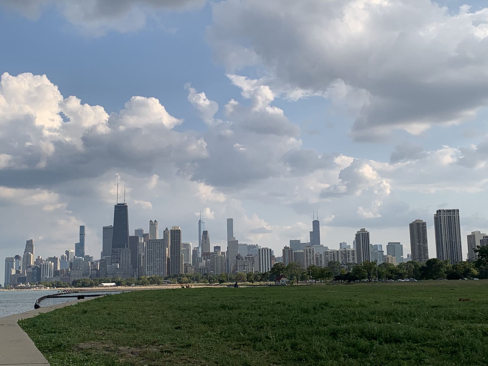
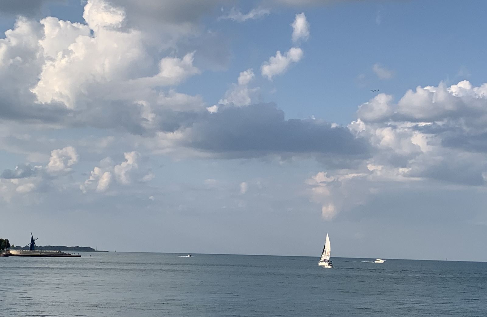
After dinner we headed to Lincoln Park - an ordinary city park, a tourist spot, nothing unexpected: lawns, paths along the lake, benches. The only unexpected thing was the number of runners - they came in a steady stream, and the two of us, walking at an ordinary pace, looked like some kind of exception among them.
Roger at Fresh Market
The next day held the main plans, and with them an early start. It's 10 minutes on foot from the hotel to the subway, and along the way we had breakfast - croissants and coffee at The Fresh Market (2730 N Halsted St, Chicago, IL). At the entrance an elderly man greeted us - he introduced himself as Roger - and held the door with the kind of thoroughness that suggested he'd done it many times before. We got to talking: Roger works this job 3 days a week - Tuesday, Thursday, Saturday - already retired, and explained he does it to have someone to talk to.
The subway that wouldn't take Canadian cards
AI had briefed us on the subway ahead of time, and at first glance it sounded sensible: a single ride is $2.50, a day pass is 5, and above all Chicago runs a system that remembers the card at the turnstile and, starting with the 3rd ride of the day, counts it as free, even without buying a pass.
Theory met practice at the very first turnstile. None of our Canadian cards worked - neither credit nor debit. We went to the machine to buy single tickets - the card didn't go through there either: the system demanded a numeric zip code, which a Canadian postal code simply doesn't have. In the end cash bailed us out - the same cash we'd brought from Hamilton just in case, which up to that moment had seemed more like caution than necessity.
Skydeck: the view from above
A gift shop greets you at the entrance - display windows packed tight with magnets, mugs, and t-shirts featuring Chicago, prices predictably touristy. We couldn't resist buying a couple of souvenirs anyway, and the most attention went to a Chicago Cubs cap - just like the one worn by the desperate Cubs fan in the old movie "Taking Care of Business," fighting with everything he had to reach the World Series. The cap on the shelf brought the movie to mind instantly, even before we picked it up.
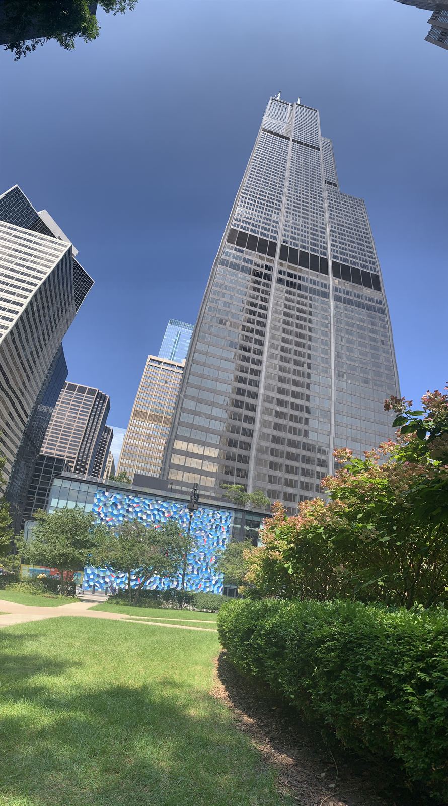
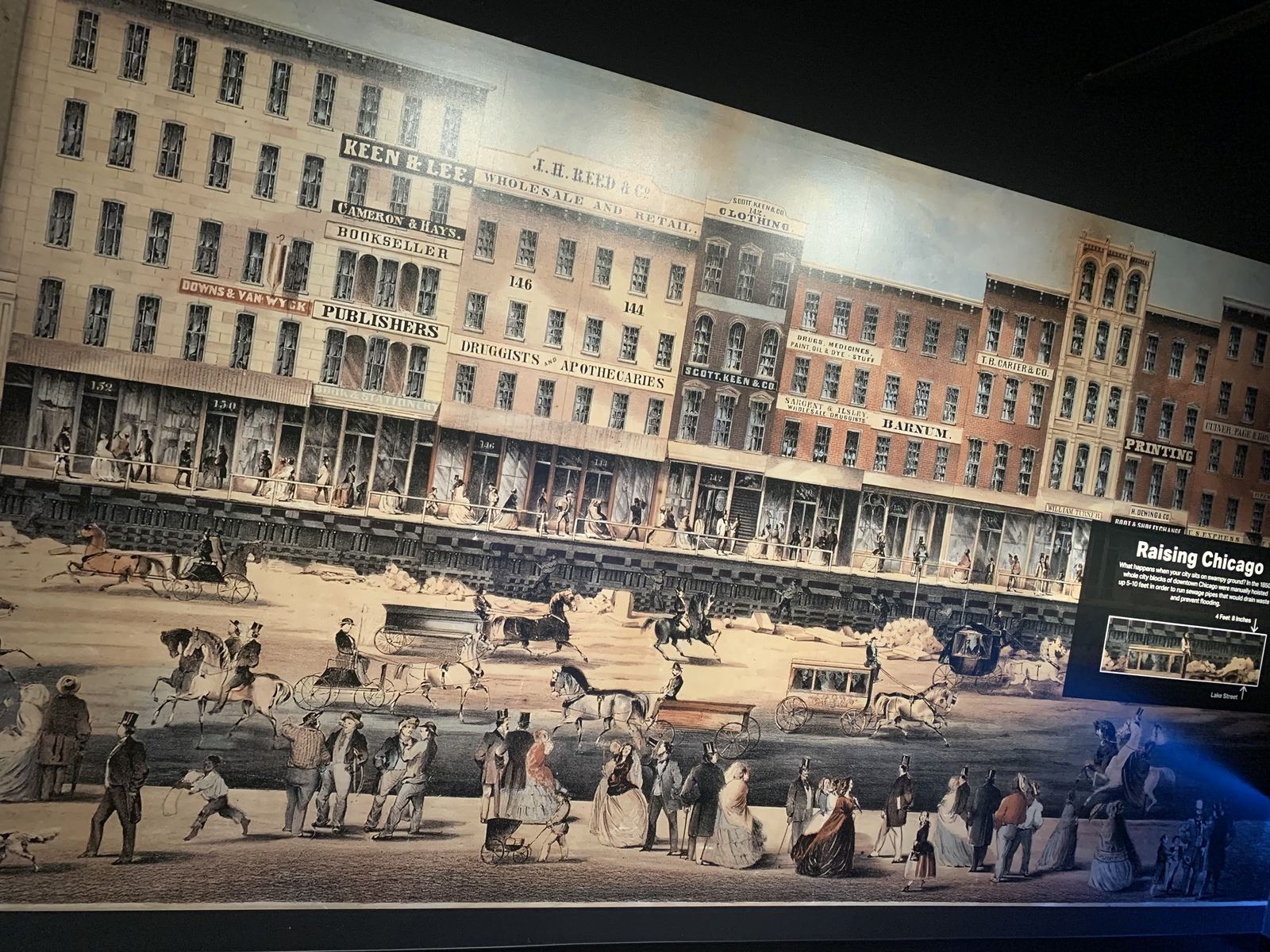
Willis Tower (formerly Sears Tower) turned out to be Chicago's tallest building: 442 meters, 110 floors, and from 1973 to 1998 the tallest building in the world, until other skyscrapers took over the title. The way to the observation deck isn't just a corridor but a whole interactive museum - the story of the Great Chicago Fire of 1871, an account of how the tower itself was built, a full-size replica of an elevated train car, and a hot-dog-shaped bench about 3 meters long, which seemed to be why everyone around was pulling out their phones.
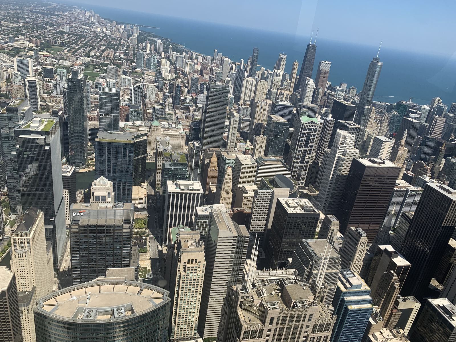
The ride up to the 103rd floor itself is an elevator that gains height so fast your ears pop on the way up, not just on the way down. At the top, a walk around the perimeter, the city lying below like a flat map, hard to believe that somewhere down there, among those tiny rectangles, we'd been looking for parking an hour earlier. A line forms for the glass balcony jutting straight out over the street - everyone wants the same photo, standing literally in the air above Chicago, and we took it too, of course. The elevator goes down just as fast as it goes up - and the ears pop again.
Catalog: healthy food in the lobby
Lately we've been trying to steer clear of junk food, and Chicago met us halfway - a food hall called Catalog operates on the tower's ground floor, and among the chain burger joints and sushi bars there was room for healthy food too. We picked Sweetgreen - a salad counter with a bright green sign that seems to be exactly why the name stuck - and with a bowl of vegetables and grains put together to our own taste, realized that after a morning spent arguing with subway turnstiles, this was exactly what we needed.
A day without rushing
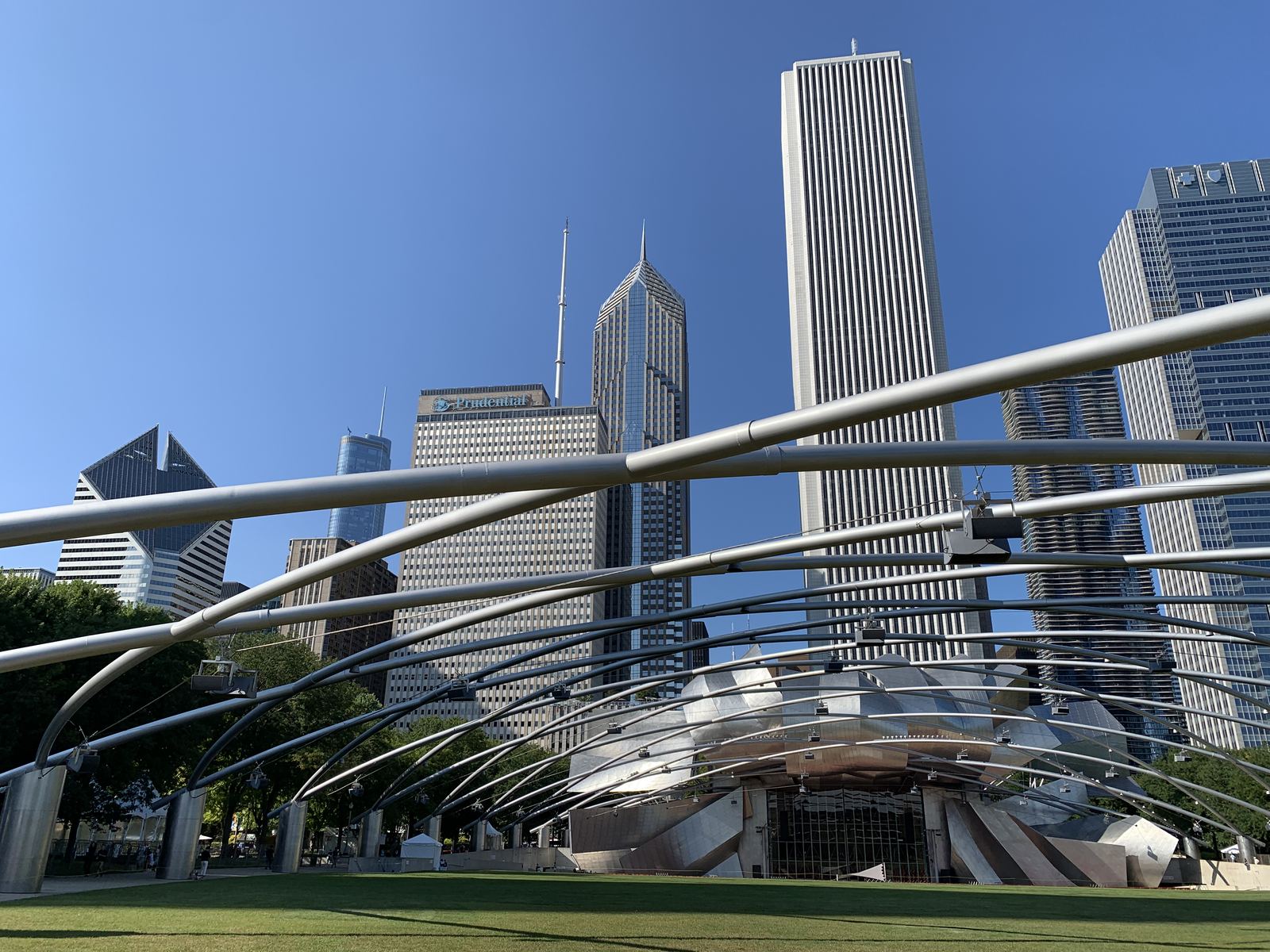
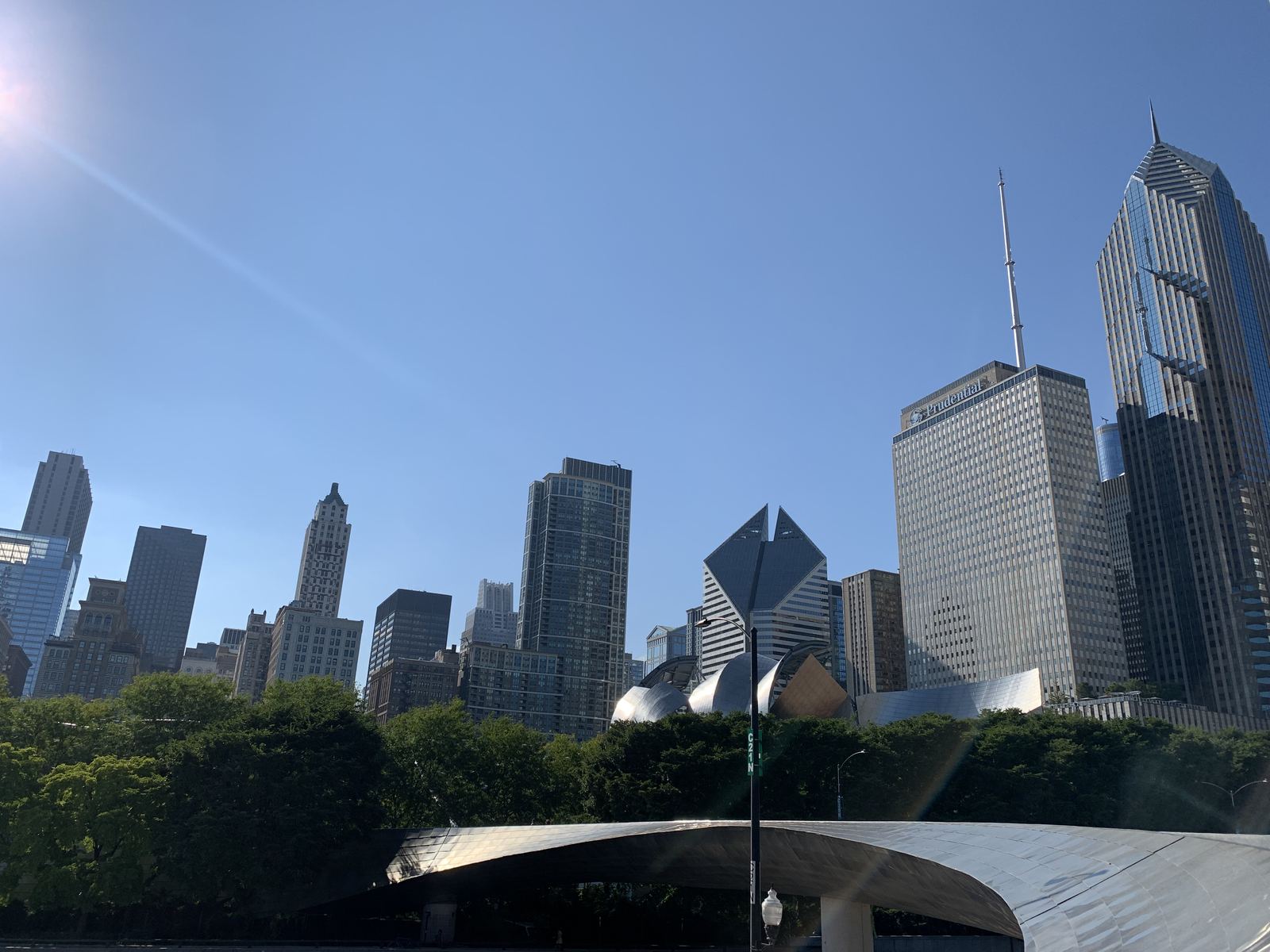
There was plenty of time before the evening boat tour, so we decided not to rush anywhere. We sat in the square at the foot of the tower, strolled through Millennium Park, and of course made it to Cloud Gate - the giant mirrored drop everyone just calls The Bean. The crowd around it never seems to thin out: people photographing their reflection, stretched and twisted, and the skyscrapers around it standing upside down in the mirror.
We went down to the Chicago Riverwalk, the promenade along the Chicago River, and sat there for a while watching the water.
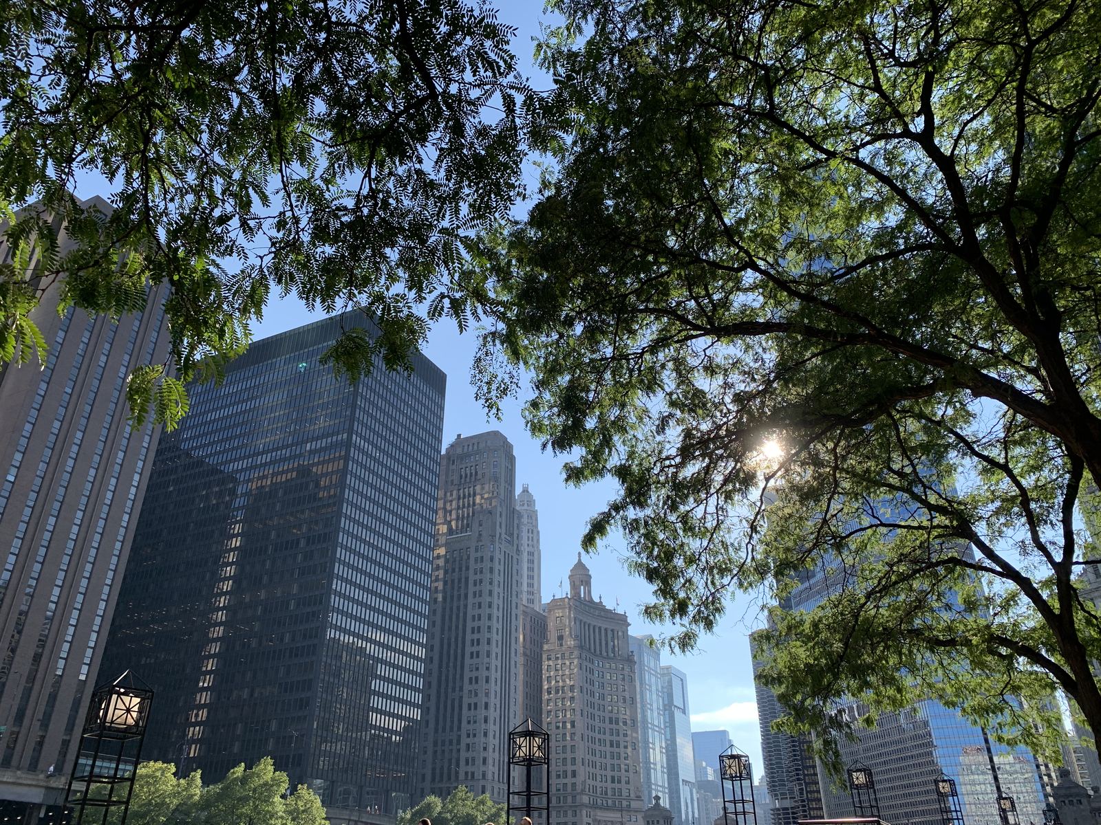
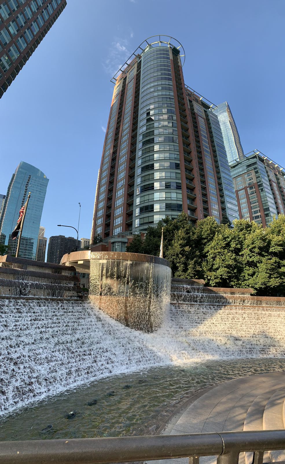
Dinner that day turned out loud: we had beer at an Irish pub packed to the brim, where you could only talk by raising your voice.
Lights on the Chicago River
In the evening, an architecture cruise on the Chicago River, from 6:45 to 8:00 pm. We didn't pick the time by chance: we wanted to catch the city both in daylight and in the evening, lit up. It turned out we'd picked the most popular slot - the boat was filled almost to capacity.
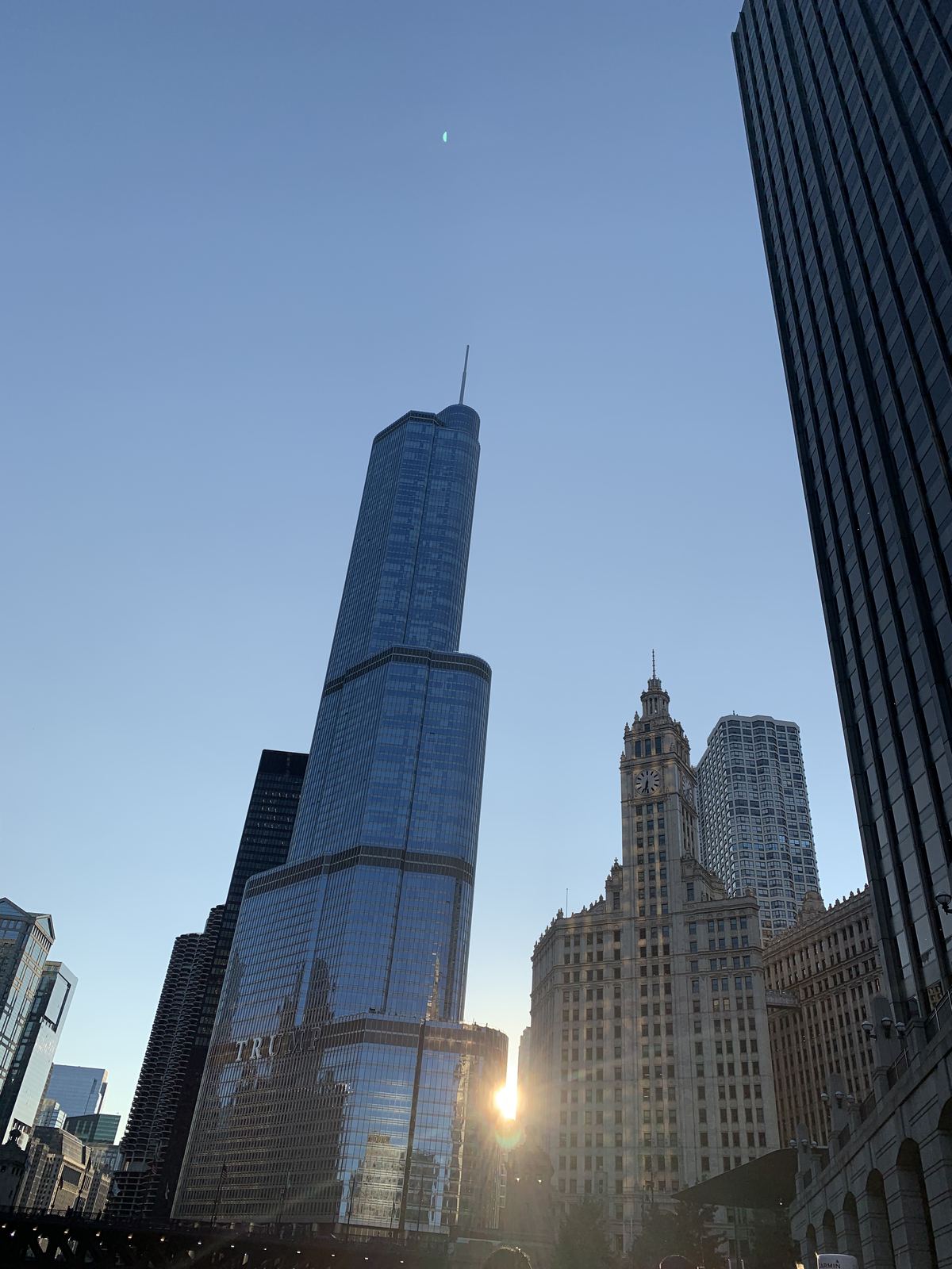
Our expectations were fully met. The tour began in sunlight and ended in darkness, once every building along the river had switched on its own lighting, unlike any other's. We also caught a full moon in the frame - lucky to be on the water on exactly that evening.
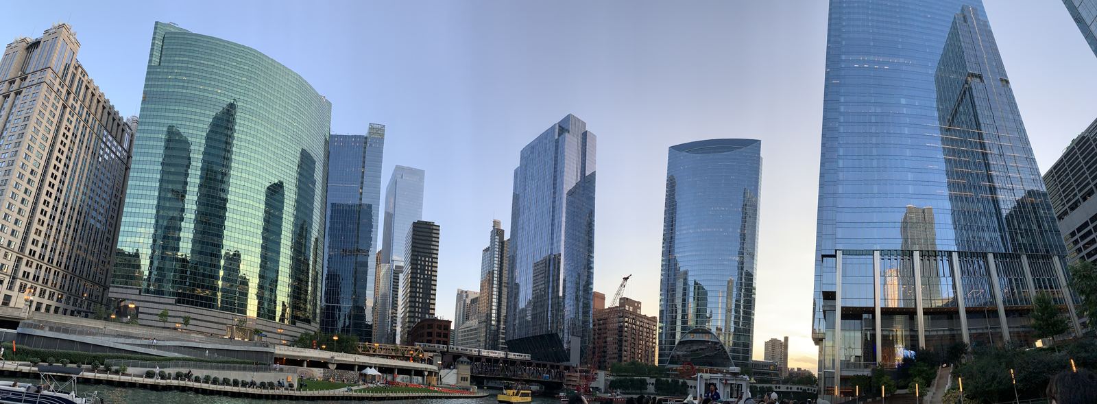
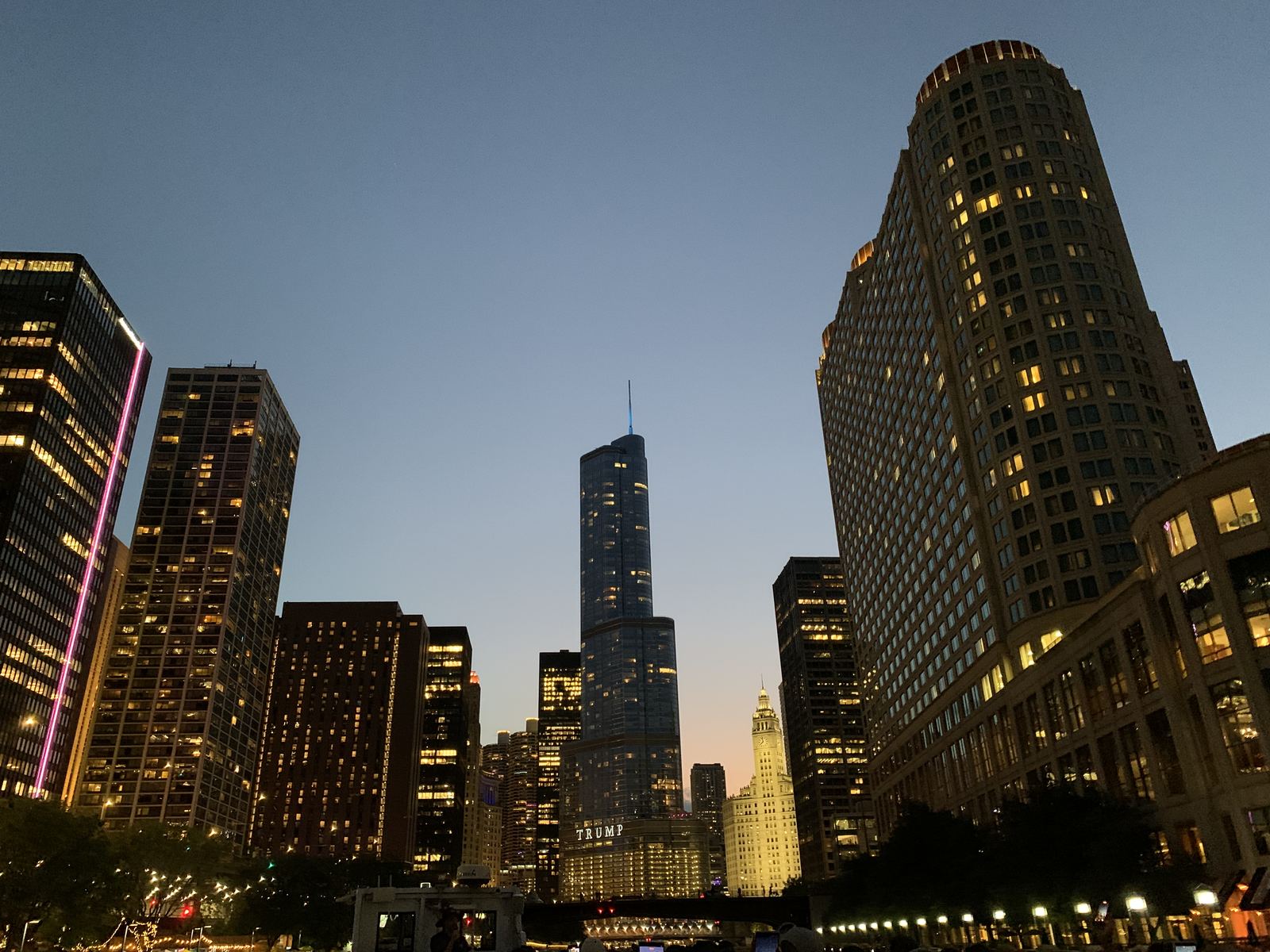
After the tour: a short walk through the lit-up downtown, the subway back to the hotel, and dinner at the same FARE cafe near the hotel.
Fresh Farms International Market
In the morning we set out toward Minneapolis, and the first stop happened while we were still within Greater Chicago, at Fresh Farms International Market (5740 W Touhy Ave, Niles, IL). The market turned out to be a small journey of its own: aisles of goods from dozens of countries, and we went looking for something from the former Soviet republics. We found everything - Georgian wine, khachapuri, salami, herring, candy - and at the register caught ourselves thinking that for a market in a Chicago suburb, the haul had turned out surprisingly homey.
I-PASS: an invisible road debt
From there the route led through Rockford, toward Minnesota, and about 60 kilometers on, signs about a toll section started appearing on the road - only there wasn't a single barrier, not a single booth with an operator, anywhere in sight. Just cameras on overhead gantries, silently recording the plate. This went on for about 100 kilometers, and with every 10 miles the same question grew in our minds: how much would get charged, and off which card, if cards had anything to do with it at all.
The answer only turned up later: this was I-PASS, Illinois's electronic toll payment system, specifically its version for passers-through without an account - Pay By Plate. The camera just reads the plate, and after that the debt is tracked against the car; we had no account in the system whatsoever, and only found out it existed after the fact. The good news: Pay By Plate gives you 2 weeks after the trip to pay, so the anxiety behind the wheel turned out to be ahead of events - working out how much was owed and how to pay could wait calmly until we were back home.
The first thing we did after getting back was register at getipass.com and check the balance. All the guesses we'd made under those gantry cameras turned into a sum of $1.50 - the entire invisible debt for a good 100 kilometers of someone else's toll highway.
Rockford: a casino and a gas station across the road
The first real stop on the highway was the exit to Hard Rock Casino Rockford, in Illinois. We drove past the casino itself, but the QuikTrip gas station right across the road from it turned out to be a great find: food cooked right there on the grill, a big drink selection, and all of it cheap for a roadside spot.
Wisconsin Dells
After Rockford we stopped in the town of Dells - Wisconsin Dells, in full - and from the first minutes it gave off a resort vibe: sandstone cliffs, the "dells" that gave the town its name, stand over the Wisconsin River, and all around are dozens of water parks, which is why the place is jokingly called the world capital of water slides. We didn't swim or ride the slides there, but felt the general resort mood - relaxed, slightly carnival-like - right away, even just passing through.
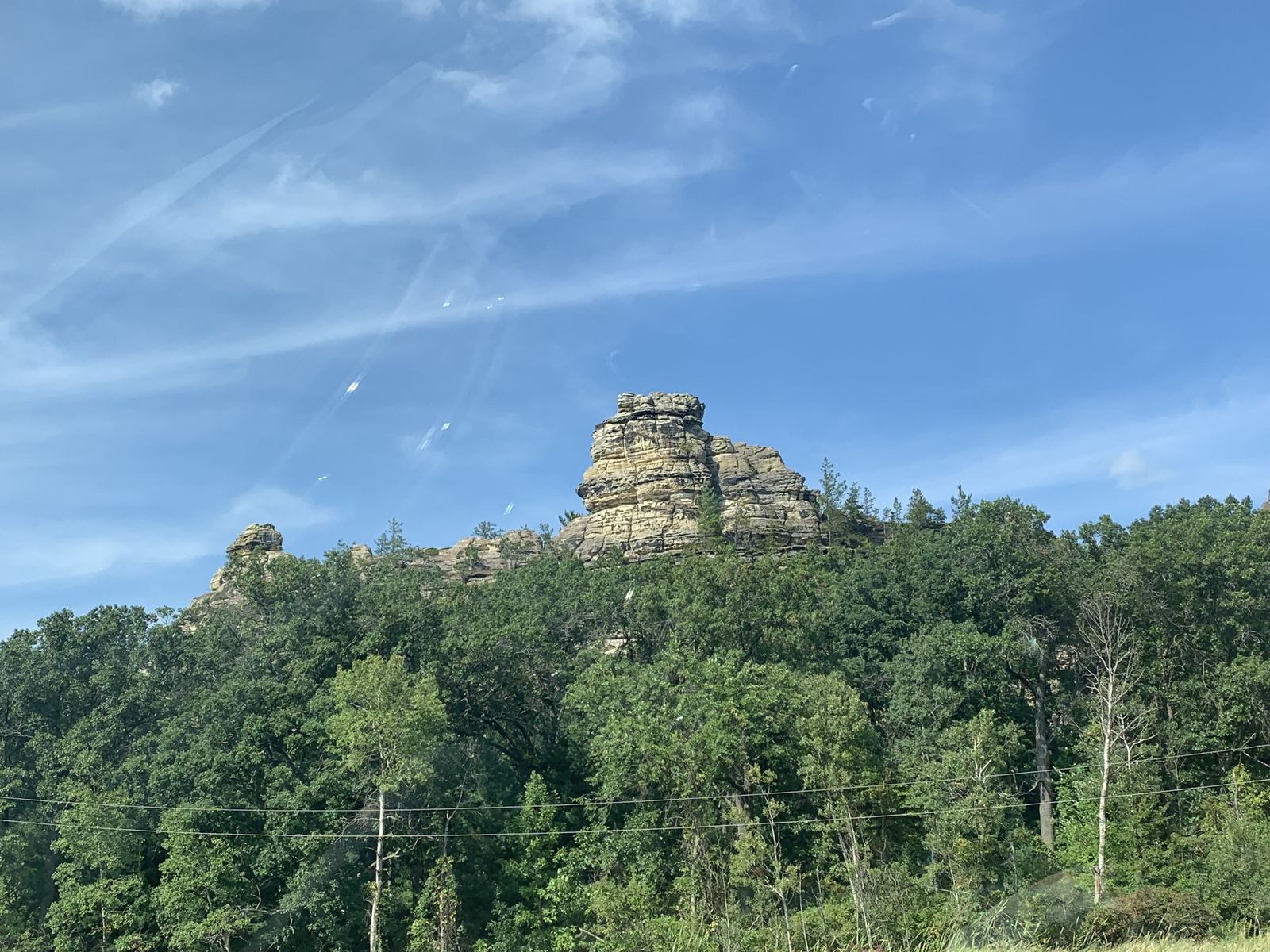
From there the route continued without stops, all the way to Minneapolis.
Already in Minneapolis we paid a few times with the CIBC credit card instead of our usual Rogers, and the exchange rate turned out less favorable. After a couple of purchases like that we went back to Rogers: losing that same 2.2 percent on its conversion, the same as at the border, still ended up cheaper overall than CIBC's rate.
Almost no traffic
Along the way road construction came up a few times, but each time it went by without sitting in a jam - until the Wisconsin-Minnesota border, where they were repairing a bridge. There we sat for about 20 minutes, the only real delay on the whole route.
Is it hard to drive without internet
No. The offline maps performed flawlessly the whole way, and whenever we actually needed the internet - to check something, check email - any McDonald's or other chain spot with free Wi-Fi along the road came to the rescue. The worry we'd prepared with for the trip (see "Preparation") never once proved true in practice.